


Hydrologic Prediction
Usage of Remote-Sensing Data
A significant amount of CHRS's efforts focuses on the utilization of remote sensing information to improve hydrometeorlogic predictions. CHRS scientists use EOS data extensively for enhancement of the mesoscale model, data assimilation, land-surface hydrologic modeling.
A major component of our research involves the (direct or indirect) assimilation of ground-based and satellite remotely sensed data into the semi-arid land-atmosphere mesoscale weather forecasting system for adjustment of the land surface and atmospheric model parameters.
The goal of assimilation is to provide a dynamically consistent simulation/forecast that represents an optimal combination of the information contained in the model (summarizing the dynamics/physics of the system and the past history) and the information contained in the observations (reflecting the actual state of the system including factors and uncertainties not properly represented in the model). Successful assimilation will result in unbiased estimates of the model states and their trajectory rate of change, thereby extending the reliability of the short-term model forecast. Satellite information useful to constrain atmospheric cloud and radiation fields includes the multiple sensor soundings of atmospheric temperature and water vapor profiles, while satellite information about the surface water and energy processes includes multi-channel microwave sensor data related to precipitation, surface vegetation, temperature, and soil moisture. We intend to implement an integrated monitoring/assimilation technique based on this information to obtain estimates of the important surface and atmospheric parameters required by the mesoscale model, including rainfall, snowfall, atmospheric moisture, temperature, surface vegetation, and soil moisture. (Table 2) lists EOS products used in our various studies.
| Parameter | EOS Product | Description | Res. (km) | Appl. | ||
|---|---|---|---|---|---|---|
| V | H | A | V | |||
|
Temperature Humidity Cloudiness Cloud Height Liquid Water Content Rainfall Structure Surface Rainfall |
L2-3 | AIRS/Aqua swath temperature and humidity profiles | 1-2 | 50 | A | V |
| L2-3 | AMSU-A/Aqua temperature profiles | 1 | 40 | A | V | |
| MOD35 & MYD35 | MODIS/Terra and Aqua cloud mask, daily, 1-km resolution | 1 | ||||
| TRMM-2A12 | TRMM TMI swath 3D profiles of hydrometeors and heating | 10 | A | V | ||
| TRMM-2A23 | TRMM PR swath determining the rain types and bright band | 5 | A | V | ||
| TRMM-2A25 | TRMM PR swath instantaneous 3D profiles of rain rates | 0.25 | 5 | A | V | |
| AE-Ocean | AMSE-E/Aqua swath water vapor over ocean | 21 | V | |||
| AMSR-E/Aqua swath cloud liquid water | 12 | V | ||||
| AE-Rain | AMSR-E/Aqua swath global surface rain rate and rain type | V | ||||
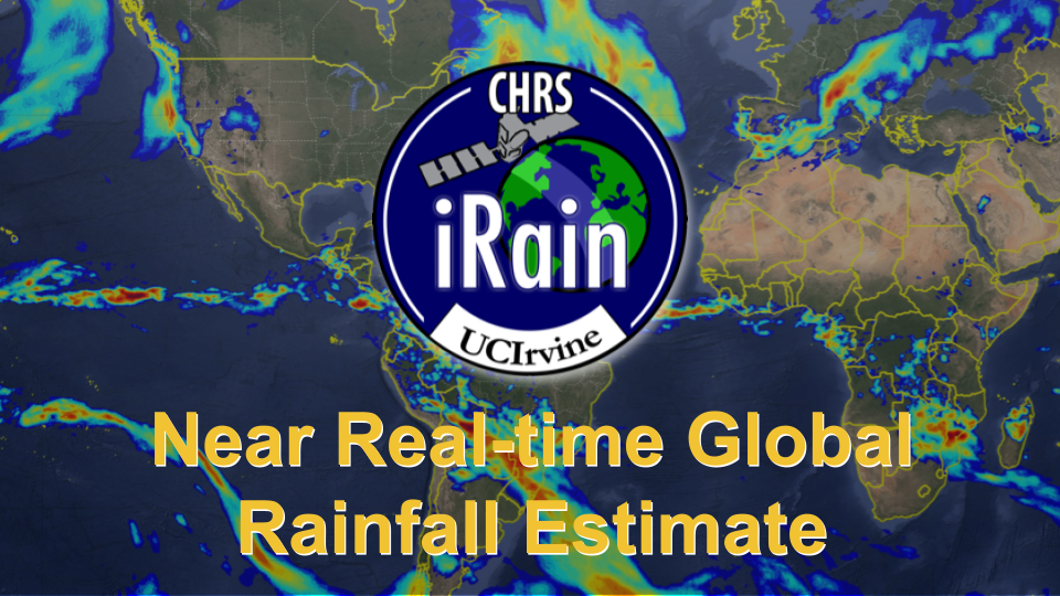
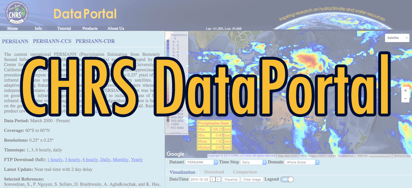
| PERSIANN | Multiple satellite surface rain rates at 1-3 hour | 12 | A | V | ||
| Surface Temperature | MOD11 & MYD11 | MODIS/Terra and Aqua land surface temperature 1-8 day | 1 | V | ||
| MOD28 & MYD28 | MODIS/Terra and Aqua ocean surface temperature 1-8 day | 1 | A | |||
| Vegetation | MOD13 & MYD13 | MODIS/Terra and Aqua vegetation indices 16-day | 1 | |||
| MOD15 & MYD15 | MODIS/Terra and Aqua leaf area index/FPAR 8-day | 1 | A | |||
| MOD43 & MYD43 | MODIS/Terra and Aqua albedo global 16-day | V | ||||
| Evapotranspiration | MOD16 & MYD16 | MODIS/Terra surface evapotranspiration global 8-day | 1 | V | ||
| Soil Moisture | AE-Land | AMSR-E/Aqua global swath surface soil moisture. | 25 | V | ||
| Snow Cover | MOD10 & MYD10 | MODIS/Terra and Aqua snow and ice cover 1-8 day | 0.5 | A | ||
| SWE | AE-DySno | AMSR-E/Aqua daily global snow water equivalent | 25 | A | ||
- Improve Mesoscale Modeling
- Improve time-varying boundary conditions using EOS SST data
- Improving the simulated triggering of convective events in urban areas
- Ensemble Weather Forecasting
- Improving snow modeling component in Land Surface Models
- Assimilation of Satellite Snow Data
- Usage of Remote-Sensing data
- Surface Hydrology Forecasting and Prediction System
Sponsors


UC Irvine | Engineering | Civil & Environmental Engineering | Physical Sciences | Earth System Sciences | OIT
© 2017 Center for Hydrometeorology and Remote Sensing
UCI Engineering Hall Suite 5300 (Building #308) Irvine, CA 92617
Back to Top