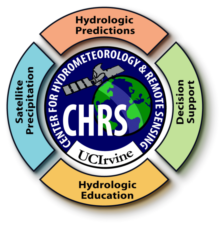
CHRS Mission Statement
Building Global Capacity for Forecast and Mitigation of Hydrologic Disasters through the development of means to extend the benefits of space and weather agencies' vast technological resources, which are untapped, into applications that can assist hydrologists and water resource managers worldwide and through equitable access to relevant information
Objectives
- Improve hydrologic prediction through development and refinement of hydrologic models and use of advanced observations, particularly from remote sensing sources
- Develop mathematical algorithms capable of estimating precipitation both from space-based and in-situ observations at spatial and temporal resolutions relevant to hydrologic applications, particularly in the semi arid environments
- Develop decision support tools for generating and evaluating a variety of hydro-meteorologic and hydro-climatologic information required by the water resources management community
- Contribute to the education of well trained hydrologists and water resources engineers responsive to the growing needs of public and private sectors at the state, national and international levels.
CHRS will pursue its mission through interdisciplinary research and education involving faculty and students from Engineering, Physical Sciences, and Social Ecology as well as cooperation with a number of other universities and national laboratories.
The animation shows the PERSIANN-CCS hourly accumulations of Patricia from October 21, 2015 20:00Z through October 25, 2015 15:59Z
The picture above is an overview of Engineering Hall, at UCI, home of CHRS
CHRS on Social Media
The Center for Hydrometeorology and Remote Sensing (CHRS) is now on Social Media!
Like us on Facebook and follow us on Twitter to keep up to date with the latest hydrologic news and new products from our team.