DoD-ARO Research Projects
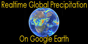
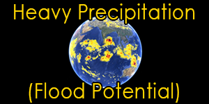
Satellite Precip
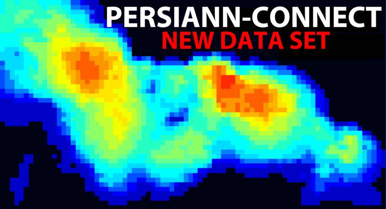
Improving near real-time high-resolution satellite-derived precipitation estimation for hydrologic modeling and decision-making applications
Introduction
Hydrometeorological applications have long relied on rain gauge data as the main source of precipitation measurement. However, rain gauges suffer from poor spatial coverage and lack of aerial representation over land, and are unavailable over the oceans. The available radar systems permit regional-scale studies only across the United States, Western Europe, and a few other locations. These limitations of rain gauges and weather radar systems point to the importance of satellite-based global precipitation data in military applications and for weather and climate studies. Despite significant developments in methods for measuring and characterizing precipitation using remote-sensing observations, satellite observation of precipitation remains inadequate at spatial and temporal scales relevant for hydrologic and climate studies. Several limitations necessitate the development of advanced concepts to address key challenges in satellite-based precipitation observation.
The objectives for this project are to:
- Improve precipitation estimates by enabling the development of a near real-time and high resolution precipitation product that benefits from multiple satellite-based sensors.
- Identify uncertainties of multi-sensor observations as well as their propagation into combined products. In this study, uncertainty of the proposed precipitation products will be evaluated at different temporal and spatial scales.
- Investigate the reliability of satellite data for hydrologic simulation and soil moisture analysis. Precipitation estimates and quantitative uncertainty measures, derived from the previous steps can be used to derive ensembles of streamflow and soil moisture, which include estimates of uncertainty of the variables.


